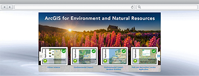
Environment and Natural Resources
Maps and applications that enable constituents to find timely information about permitted activities, understand the water quality landscape in the state, and discover recreational activities in the state.
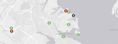
Permit Status and Monitoring
A collection of maps and apps used by citizens and Environment and Natural Resources staff to view the status of permitted activities as well as monitor the inspection and compliance status of permitted sites.
EMI Online for Environment and Natural Resources
The EMI Online Model Organization for Environment and Natural Resources provides users with a series of guidelines to follow when setting up EMI Online. The guidelines include group structure, sharing policies, and user access rights.
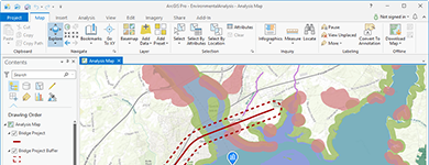
Understand and Communicate Environmental Impact
Use a suite of apps to help interested parties understand potential impacts, brief executives and decision-makers, and elicit feedback from the community.
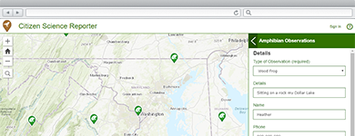
Collect and Manage Citizen Science Observations
A collection of maps and apps used by citizens and natural resources staff to file and curate reports of wild plant and animal life.
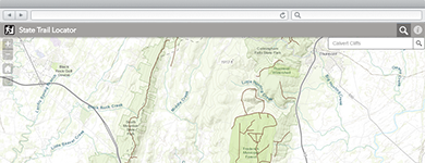
Discover State Trails
An application configuration that enables people to explore trails to visit in the state.
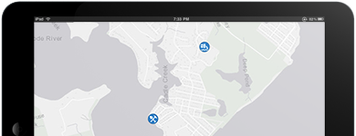
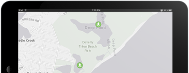
Discover State Parks
The Park Locator application allows the public to find recreational opportunities based on their interest, location, or proximity to a place.
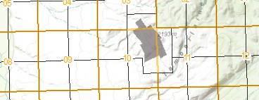
Maintain Survey Framework
The Public Land Survey Editing map can be used by mapping technicians to maintain an accurate inventory of control points and related public land survey system (PLSS).
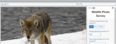
Survey Wildlife Photos
The Wildlife Photo Survey application can be used by staff to collect valuable information about wildlife using photos captured from camera traps in the wild.
Facilitate Water Quality Inspections
Water Quality Inspections is a configuration of EMI Online and the Collector for EMI application that supports the collection of waterway inspection information.
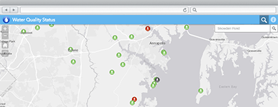
Communicate Water Quality
An application configuration that enables citizens to find out water quality status based on monitored parameters.
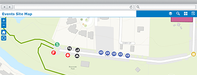
Manage Community Events
A collection of maps and apps used by government agencies and other stakeholders to permit, coordinate, plan, and promote community or special events.