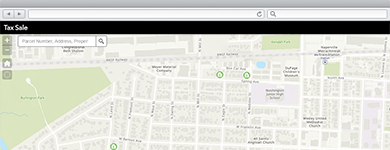
Land Records
Manage an accurate inventory of real property; describe who owns the land; analyze land value and associated improvements; and maximize property tax revenue.
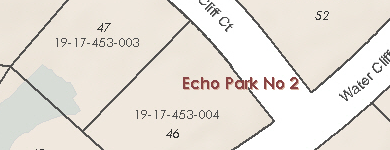
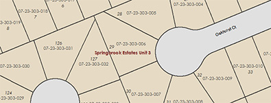
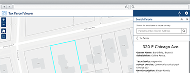
Maintain Property Information
A collection of maps and apps used by mapping technicians to maintain a survey framework, examine deeds, inventory tax parcel descriptions, produce map books, and publish property information.
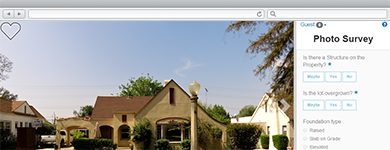
Photo Inventory Properties
Photo Survey can be used by local governments to publish street-level photo collections and conduct focused property surveys that may identify blight, damaged structures, or construction activity.
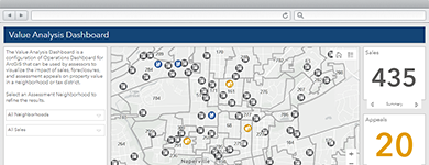
Visualize Property Value
Value Analysis Dashboard can be used by assessors to visualize the impact of sales, foreclosures, and assessment appeals on property value and revenue in a neighborhood or tax district.
Recover Tax Revenue
Tax Reverted Property can be used by the treasurer’s office staff to collect delinquent tax property information and market delinquent properties to the general public, land development companies, and real estate professionals.
Engage Citizens
A collection of maps and apps used by the general public to access tax parcel and related property information, find comparable sales, file assessment appeals, and identify properties impacted by FEMA floodplain boundaries.
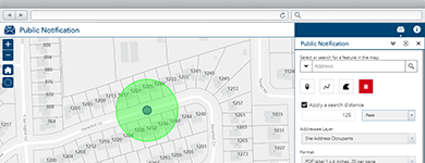
Notify Property Owners
Public Notification can be used by local government staff to identify a collection of properties and create mailing labels, or a structured text file, of owners and occupants.
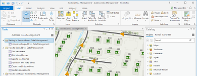
Manage Address Information
A collection of maps used to manage road centerlines, site addresses, facilities, mailing addresses, and aggregate this information from authoritative sources for use by state and regional agencies.
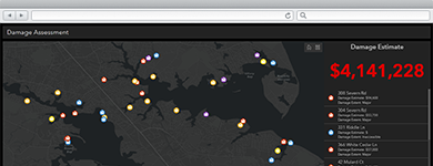
Conduct Damage Assessments
Damage Assessment can be used by inspectors to conduct structural damage assessments in a connected or disconnected network environment.