Your Entire Organization

Organize your online mapping platform and geographic information; publish a series of authoritative basemaps; and deploy a collection of maps and apps that add value to your entire organization.
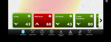
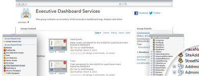
Visualize Performance Indicators
Executive Dashboard can be used by local government leaders to review key performance metrics, identify trends, and devise new management strategies.
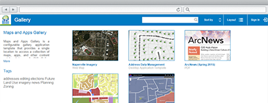
Simply Discover Maps and Apps
Maps and Apps Gallery can be used by the general public to quickly discover publicly available maps and apps.
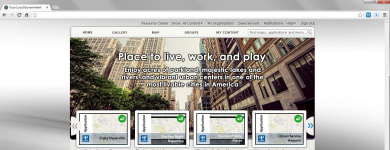
Deploy Mapping Platform
The EMI for Local Government Model Organization can be used to deploy an online mapping platform that promotes collaboration in your organization.
Organize your Geographic Data
The Local Government Information Model is a harmonized information model designed to support the focused maps and apps provided in the local government solution.
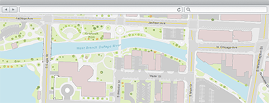
Publish High-Quality Basemaps
A collection of essential local government basemaps that serve as a foundation for desktop, mobile and web mapping applications.
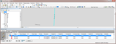
Improve Basemap Data
Data Reviewer for Basemaps can be used by mapping technicians to automate quality control and continuously improve the integrity of basemap data.
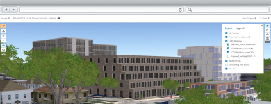
Publish 3D Scenes
A collection of local government 3D scenes that serve as a foundation for desktop, mobile and web mapping applications.
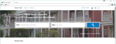
Share Data with Public
EMI Open Data gives you a quick way to set up public-facing websites where people can easily find and download your open data in a variety of open formats.