Fire Service
Leverage geographic information to analyze risk; develop pre-incident plans; and improve response activities that protect human life, property, and natural resources.
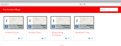
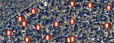
Create Fire Incident Maps
Fire Incident Maps can be used by fire departments to create a series of fire incident maps from computer aided dispatch or records management data.
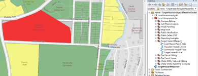
Identify Target Hazards
Target Hazard Analysis can be used by fire personnel to identify properties that could result in a loss of life, or have a negative impact on the community, if a fire were to occur.

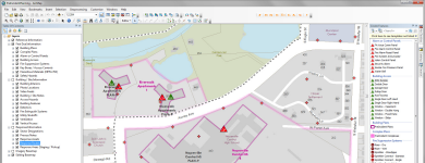
Produce Wall Maps
Fire Station Wall Map can be used by mapping technicians to create wall maps for each fire station.

Generate Fire Run Books
Fire Run Book can be used by mapping technicians to produce individual map pages, a street index, and a Fire Run Book for personnel en route to a fire.
Prepare for Incidents
A collection of maps used by fire operations staff to prepare for incidents or events, develop response plans, and communicate road closures.
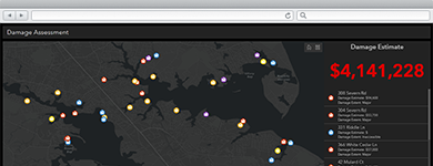
Conduct Damage Assessments
Damage Assessment can be used by inspectors to conduct structural damage assessments in a connected or disconnected network environment.
Inspect Fire Flow
Fire Hydrant Inspection can be used by fire personnel to ensure every fire hydrant in a district performs properly and reliably when an emergency occurs.

Conduct Fire Safety Surveys
Fire Safety Survey can be used by fire personnel to conduct dwelling fire safety surveys that are a part of a community’s risk reduction program.
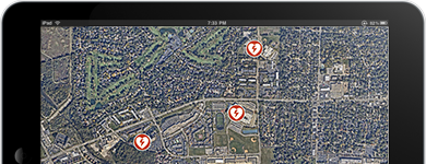
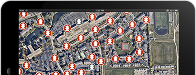
Inventory Defibrillators
AED Inventory can be used by fire personnel to collect automated external defibrillators (AEDs).
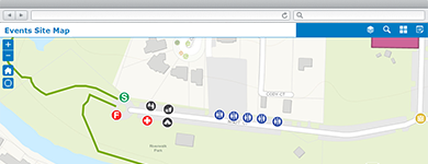
Manage Community Events
A collection of maps and apps used by government agencies and other stakeholders to permit, coordinate, plan, and promote community or special events.
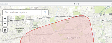
Share Evacuation Notices
Evacuation Zones can be used by fire personnel and emergency management staff to notify the public when evacuations are required.
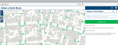
Adopt an Asset
Adopta can be used by government agencies and other organizations to engage the public in the maintenance of natural and man-made assets.
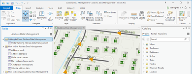
Manage Address Information
A collection of maps used to manage road centerlines, site addresses, facilities, mailing addresses, and aggregate this information from authoritative sources for use by state and regional agencies.
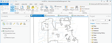
Inventory Administrative Areas
Administrative Area Data Management can be used by mapping technicians to maintain an inventory of geopolitical areas, school districts, voting precincts, public safety districts, and service boundaries.