Your Emergency Management Organization
Collaborate with Others
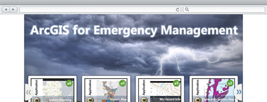
The ArcGIS Online Model Organization for Emergency Management provides a guide to allow you to leverage ArcGIS Online to support your emergency management mission.
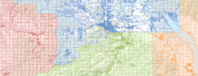
Aggregate Parcel Information
Community Parcels can be used by organizations to aggregate authoritative parcel data and deliver focused parcel maps to key stakeholders.
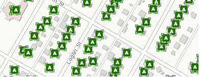
Aggregate Address Information
Community Addresses can be used by organizations to aggregate authoritative address data and deliver focused maps and locators to key stakeholders.

Situational Awareness
A collection of maps and apps used by emergency responders and public safety personnel to maintain situational awareness in preparation for and during an event.