Fish and Wildlife
Maps and applications that serve the needs of citizens in the state, and facilitate access to hunting and fishing locations and licenses, and enable discovery of recreational locations in the state.
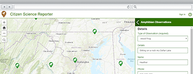
Collect and Manage Citizen Science Observations
A collection of maps and apps used by citizens and natural resources staff to file and curate reports of wild plant and animal life.
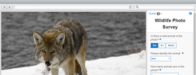
Survey Wildlife Photos
The Wildlife Photo Survey application can be used by staff to collect valuable information about wildlife using photos captured from camera traps in the wild.
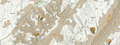
Wildlife Management Area Locator
Wildlife Management Area Locator facilitates access to Wildlife Management Areas (WMAs) and helps citizens understand what requirements have to be met to hunt in the WMA.
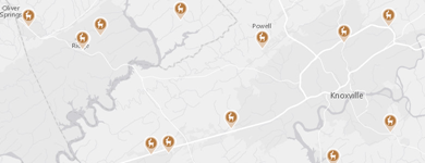
Hunting License Locator
An application configuration that enables hunters to find a location to buy a hunting license in the state.
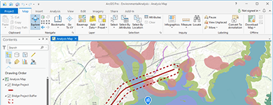
Understand and Communicate Environmental Impact
Use a suite of apps to help interested parties understand potential impacts, brief executives and decision-makers, and elicit feedback from the community.
Water Access Locator
Water Access Locator is an application that facilitates access to boat ramps, marinas, and fishing sites in the state.

Facilitate Water Quality Inspections
Water Quality Inspections is a configuration of EMI Online and the Collector for EMI application that supports the collection of waterway inspection information.
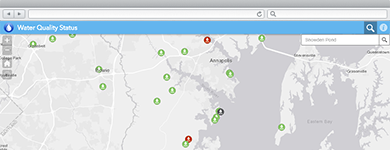
Communicate Water Quality
An application configuration that enables citizens to find out water quality status based on monitored parameters.