Transportation
![]()
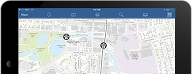
Maps and applications that enable constituents and interested parties to understand the status of the transit system, promote timely access to information and monitor the status of the roadways across the state.
Understand Impact
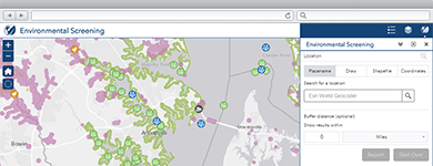
An application configuration that enables interested parties to discover potential impacts to the natural landscape, species, and species habitat due to development and mitigation activities.
Communicate Impact
A Story Map configuration that can be used by state governments to create map-based briefings and reports with interactive content that can be viewed by executives, decision-makers, knowledge-workers, and constituents.
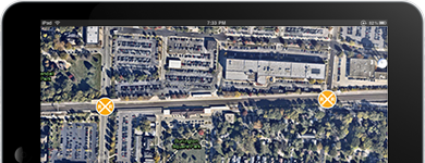
Railroad Inspection
An application configuration of EMI that supports the collection of inspection information for railroad crossings.
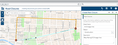
Communicate Road Closures
The Road Closures map can be used by transportation staff to maintain an inventory of road closures and communicate closures and detours to travelers.
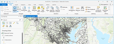
Analyze Crashes
Crash Analysis can be used by transportation departments to standardize roadway datasets and assign crash locations to road segments.
Crash Risks Briefing
Story Maps can be used by Departments of Transportation to create map-based briefings and reports with interactive content that can be viewed by executives, decision-makers, knowledge-workers, and constituents.
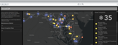
Manage Snow Operations
The Snow Operations Dashboard application can be used by operations managers to monitor snow event responses and determine which streets are not getting attention.
![]()
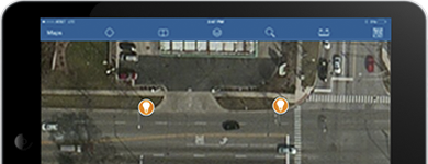
Share Roadway Conditions
Transportaion 511 can be used by departments of transportation to communicate information about the status of roadways across the state with citizens and travelers.
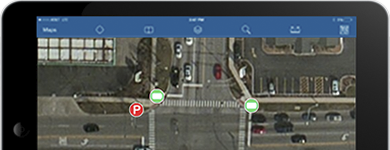
Inventory Street Signs
The Sign Inventory map can be used by field staff to inventory traffic signs erected at the side of, or above roads.

Inventory Traffic Signals
The Signal Inventory map can be used by field staff to inventory traffic signals and signal cabinets positioned at road intersections to control the flow of traffic.
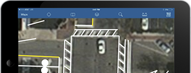
Inventory Pavement Markings
The Pavement Markings Inventory map can be used by field staff to inventory pavement markings that delineate vehicular paths of travel.
Inventory Guardrails
The Guardrails Inventory map can be used by field staff to inventory railings placed alongside a road for safety purposes.
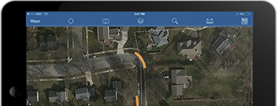
Inventory Bridges
The Bridge Inventory map can be used by field staff to inventory bridges built to span a road, body of water, or valley.
Inventory Streetlights
The Streetlight Inventory map can be used by field staff to inventory streetlights erected at the edge of a road or walkway.